Using RIEGL LiDAR to Understand How Forests Mitigate Climate Change
Using RIEGL LiDAR to Understand How Forests Mitigate Climate Change
Understanding the impacts of forest disturbances on forest structure – and consequently, their capacity to buffer climate change impacts by regulating microclimates and mitigating climate extremes – is crucial for predicting how forests will respond to climate change. However, the full extent of these impacts remains poorly understood, especially across large spatial and temporal scales.
Case Study: Q-ForestLab Team Project in Australia

In the heart of the Wet Tropics of North Queensland, Australia, a comprehensive multi-scale fieldwork campaign was conducted from June to September 2024. The Belgian Q-ForestLab team from Ghent University led this ambitious project focused on 16 research plots (ranging from 0.5 to 1 hectare), in collaboration with TERN (Australia), CSIRO (Australia) and Sylvera (UK). These plots are part of the Queensland Permanent Rainforest Plots QPRP-CSIRO/Connell network, a unique long-term tropical forest monitoring initiative. This network includes the Daintree Rainforest, the world’s most ancient tropical forest (dating back 130 million years) and the most species-dense ecosystem in Australia.
A key site within this network is the Daintree Rainforest Observatory (DRO) at James Cook University. The DRO boasts a state-of-the-art research center, a canopy crane, and a dedicated plot with a long-term drought experiment. These sites are of particular interest as the region faces climate pressures, exemplified by events such as the Jasper cyclone in December 2023. This makes the area a natural laboratory for assessing the impacts of climate change on tropical rainforest dynamics.
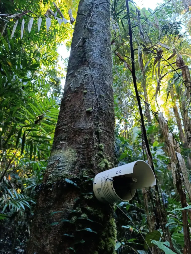
The campaign also made extensive use of RIEGL LiDAR technologies. Using a combination of Terrestrial Laser Scanning (TLS), UAV-Based Laser Scanning (ULS), and Airborne Laser Scanning (ALS) systems, the team collected high-resolution 3D data on forest structure with two types of RIEGL sensors. Additionally, a network of microclimate loggers were deployed and continue to record valuable climate data.
Project Methods
TLS – Terrestrial Laser Scanning
Across the 16 plots, the Q-ForestLab team systematically collected TLS data using the RIEGL VZ-400i within a precisely defined 10 m × 10 m sampling grid. The VZ-400i, with its ability to capture multiple returns from a single laser pulse, revealed the layered complexity of the canopy in remarkable detail. Furthermore, its integrated orientation sensor seamlessly coordinated the simultaneous acquisition of scan and image data, while also processing waveforms, registering positions, geo-referencing, and executing analyses on the fly. Building on the solid foundation of the RIEGL VZ-400, recent technological enhancements have significantly improved its capabilities—most notably by greatly reducing post-processing times and streamlining workflows. The high-resolution 3D data obtained from TLS will serve as a foundation for upscaling fine-scale forest structure measurements to larger spatial extents when combined with ULS and ALS data.
ULS – UAV-based Laser Scanning
Only two of the studied plots provided the unobstructed line of sight required for UAV-based laser scanning. As a result, the ULS scan was carried out exclusively at the DRO, with the Robson Creek scheduled to be captured soon. For the ULS operation, the CSIRO team, led by Dr. Shaun Levick, deployed the lightweight and versatile RIEGL VUX-120, aboard the Acecore NOA UAV platform. Boasting a 100° field of view and a rapid data acquisition rate of up to 1.8 MHz, the VUX-120 is ideally suited for high-point density mapping, capturing intricate details with remarkable precision. Moreover, its NFB (Nadir/Forward/Backward) scan pattern, sampling at nadir as well as 10° forward and 10° backward, significantly increases laser hits on vertical surfaces such as tree trunks, further enhancing the mapping of forest structure. ULS data acts as a crucial bridge between TLS and ALS enabling the upscaling of fine-scale measurements while preserving the highly detailed forest structure.
Read Another recent Post: